By Gordon Walker, House and Grounds Chairman, 1969-1970
Edited by Terry Dwyer, 2012
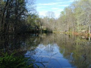
Our Dam as seen from Bailey’s Mill side
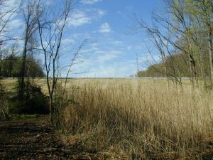
The Breeder Pond provides filtering – reducing the amount of silt that enters our Lake
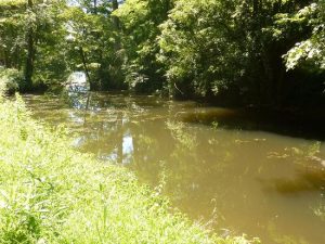
The Lagoon is the first point of entry for water into our Lake and filters silt.
The lake itself is about 2000 ft. long, and at its maximum width, on a line across almost due east from the main beach, is 400 ft. The surface area of the water is about 12.8 acres, and acre being 43,560 sq. ft. The depth varies greatly, since the lake is the result of damming an irregular, V-shaped ravine; the subterranean trench runs down the lake nearest the east bank, as the hillside is considerably steeper on the east side than on the west. Starting at the little dam, where the depth is only a foot or two, the lake gradually deepens down the middle, to about 7-8 ft. off Dunn and Manz (59 to 63 Lake Trail East), 12-15 ft. off Jacobsen-Lynch-Caruso (editor: 41 – 49 Lake Trail East), reaches 18-20 ft. at the widest part, then drops rapidly to its maximum depth, 29-30 ft., off Dean-Wilms-Pflum (editor: 11 to 15 Lake Trail East). These and other figures, were ascertained by soundings in 1964. The lake contains approximately 60-65 million gallons.
The total land and water area of the Mt. Kemble Lake Community, exclusive of the ballfield area (editor: block 45, lot 7 and block 37, lot 27), was calculated from I.J. Casey’s survey map as being about 1,864,600 sq. ft = 42.8 acres. It follows that the land area of roads and properties adjacent thereto is 30 acres.